Alice Springs
Alice Springs origins date back to 1872 when it played a vital role in linking Darwin and Adelaide as part of the Overland Telegraph Line. The stark remoteness of Alice becomes apparent when realising that it lies 1,500km from each of these cities.
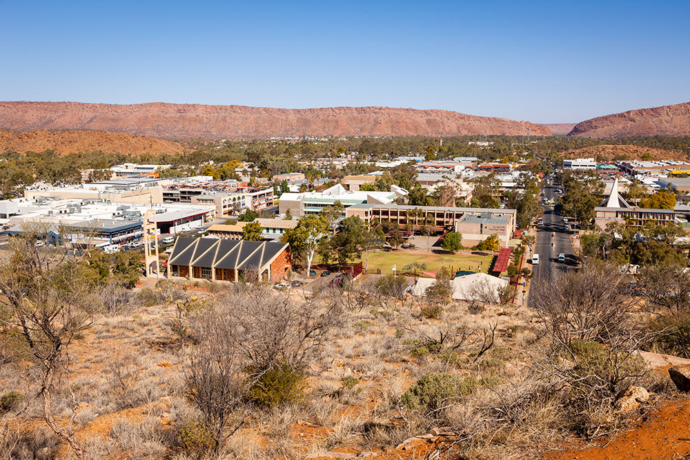 69909 Alice Spring from ANZAC Hill
 Alice Springs Telegraph Station Historical Reserve serves as the starting point for the Larapinta Trail. The famous walking trail heads west for a total of 223 kilometres ending at Mount Sonder, one of the territory's highest mountains.
 69901 Mount Sonder
The Ghan Railway is a historic railway line that spans across Australia, connecting the cities of Adelaide, Alice Springs, and Darwin. It was named after the Afghan cameleers who played a significant role in the early development of the railway in the late 1800s. The Ghan Railway is particularly significant in Alice Springs as it played a crucial role in the growth and development of the town. When the railway was extended to Alice Springs in 1929, it brought with it a reliable means of transportation and communication, which allowed the town to flourish. Today, the Ghan Railway is a popular tourist attraction, offering travelers the opportunity to experience the beauty and diversity of the Australian outback, while also learning about the history and significance of the railway to the region.
 Family Pic with the Ghan
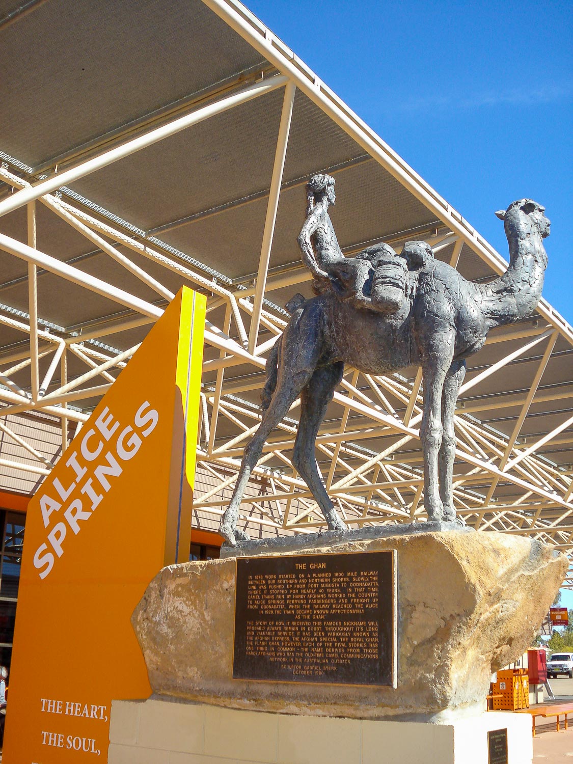 Ghan Monument
Whilst in Alice make sure you visit Alice Springs Desert Park (located 7km from the town centre). This park aims to bring the desert to life with short walks, cultural experiences and an introduction to local animals and characters.
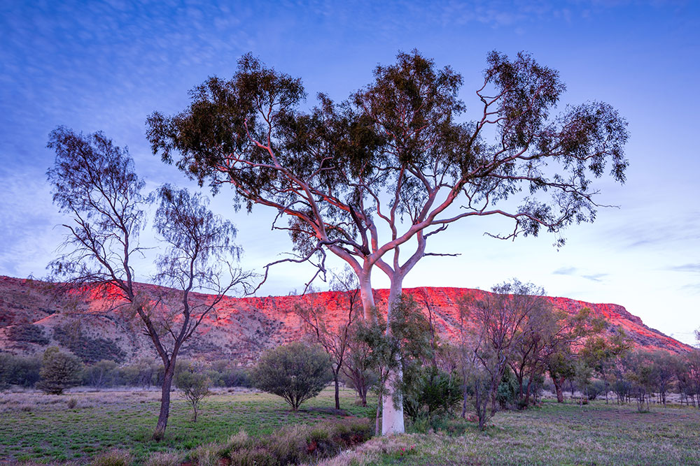 69412 Alice Springs Desert Park
 Don’t miss the night-time spotlighting tour where you’ll see endangered animals in their natural habitat right in the foothills of the MacDonnell Ranges.
Chambers Pillar Historical Reserve
For the more adventurous, the 3 hours off-road drive from Alice Springs to Chambers Pillar is so worth the effort. This extraordinary pillar stands over 160m tall over the surrounding desert landscape. The remoteness of this location and the fact it’s not well visited will give you a real sense of isolation, a true outback experience.
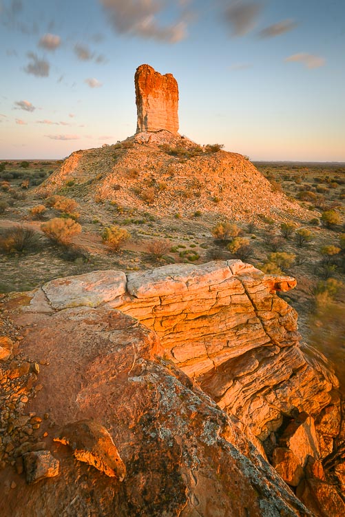 68080 Chambers Pillar
 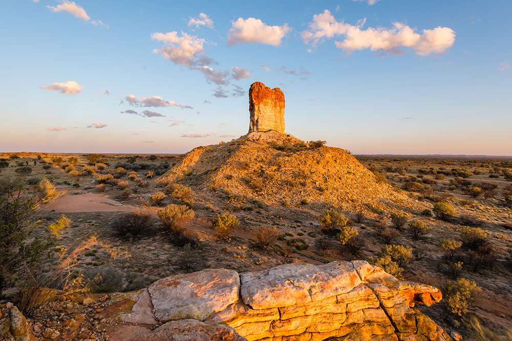 69425 Chambers Pillar Historical Reserve
 Rainbow Valley
Just one hours drive south of Alice Springs is the wonderful Rainbow Valley. The towering rock formations rise from the surrounding desert plains. The rocks are best viewed in the late afternoon and at sunset, when you can watch as the orange and red hues change into purples and blues.
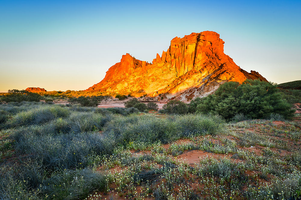 68082 Rainbow Valley
 Haasts Bluff
Haasts Bluff, also known as Ikuntji, is an Aboriginal community in Central Australia. Located approximately 230 km west of Alice Springs, the community takes its name from the nearby outcrop, given this name in 1872 by the explorer Ernest Giles, after the German-born New Zealand geologist, Julius von Haast.
 68084 Haasts Bluff
I was fortunate enough to witness Haasts Bluff in all its glory during sunset. The warm light illuminated the shapes and contours of the mountains, creating a stunning display of natural beauty.
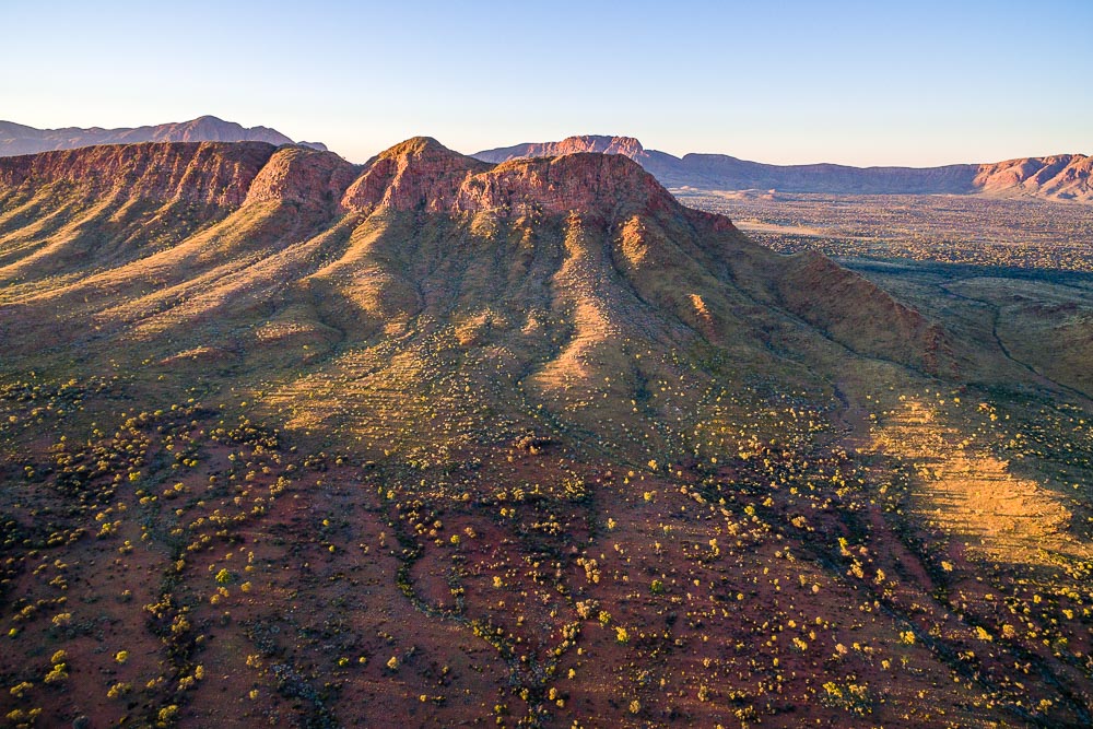 69194 Haasts Bluff Aerial
MacDonnell Ranges
The MacDonnell Ranges is a 644 km long series of mountains made up from parallel ridges that run east and west of Alice Springs. The mountain range contains many spectacular gorges and waterholes as well as areas of First Nation significance.
 31508 MacDonnell Ranges
 69905 Mount Sonder
Rising majestically from the rugged landscape is Mount Sonder, a striking landmark at the western end of the Larapinta Trail. Spend a day hiking around its base, or perhaps experience a breathtaking sunrise from its peak.
 68078 Finke River Oasis
The Finke River begins its journey high in the MacDonnell Ranges and is one of the few sources of water in this harsh, arid landscape. This ancient watercourse is believed to be the oldest river in the world and creates many beautiful oases allowing a network of flora and fauna to flourish.
 68073 Glen Helen Gorge
As the Finke makes its way through the arid central outback, it passes through Glen Helen Gorge. The reds of the gorge contrasts with the blue of the sky and river, to create an explosion of colour.
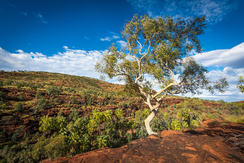 68087 Palm Valley
As the river meanders further through the ranges it has created the hidden gem that is Palm Valley. There aren't many places that you can find palm trees in the outback. Only two hours from Alice Springs, it’s great for a day trip or stay in the valley’s campsite.
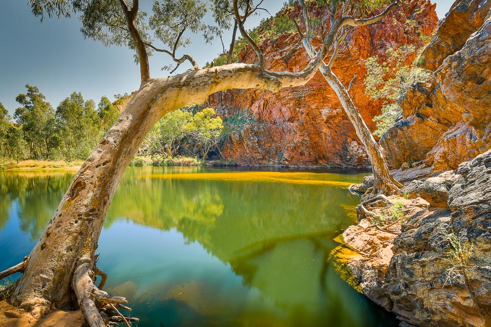 68075 Ellery Creek Big Hole
One of the largest waterholes in the MacDonnell Ranges, Ellery Creek Big Hole provides life-giving water for local wildlife and is a great place to spend a few hours cooling off. This destination is popular with walking, camping, swimming and picnics, and I would highly recommend spending a day exploring all it has to offer.
 68074 Ormiston Gorge
Hidden away in the MacDonnell Ranges you will find Ormiston Gorge, a spectacular gap in the range where towering Ghost Gums shelter cool waters. Enjoy a walk, swim or camp in the incredible natural beauty of this sanctuary.
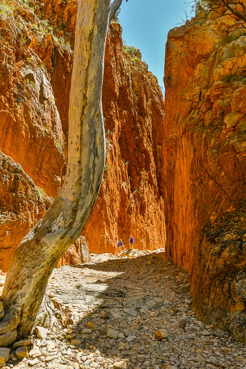 69415 Standley Chasm
Standley Chasm was created by the slow weathering and erosion of a singular fissure in the rock, this geological marvel has attracted travellers for decades. An easy trail from the carpark leads through the rocky terrain to reach the towering walls of the chasm.
Kings Canyon Watarrka National Park
Kings Canyon Watarrka National Park, located in the Northern Territory of Australia, is a spectacular natural wonder that draws thousands of tourists every year. The park is famous for its towering red rock formations, unique flora, and fauna, and the iconic Kings Canyon Rim Walk.
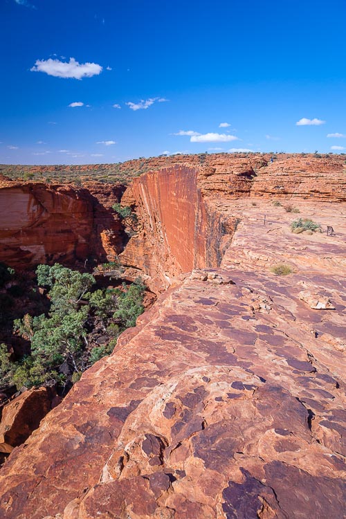 69899 Rim Walk
 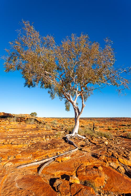 71546 Lone Canyon Tree
 Kings Canyon has a rich history, with evidence of Aboriginal occupation in the area for thousands of years. The local Indigenous people, the Luritja, hold the canyon in high spiritual regard and have significant cultural and historical ties to the land. The canyon features rock art, waterholes, and other cultural sites.
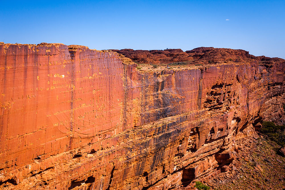 69897 Walls of Kings Canyon
The Kings Canyon Rim Walk is a must-do activity for visitors to the park. The 6 km (3.7 miles) long circuit takes visitors on a journey through the rugged landscape, showcasing the stunning views of the canyon and surrounding landscape. The walk starts and ends at the Kings Creek Station and takes approximately 3-4 hours to complete. The trail is well-marked and offers visitors a chance to experience the beauty of the canyon up close and personal.
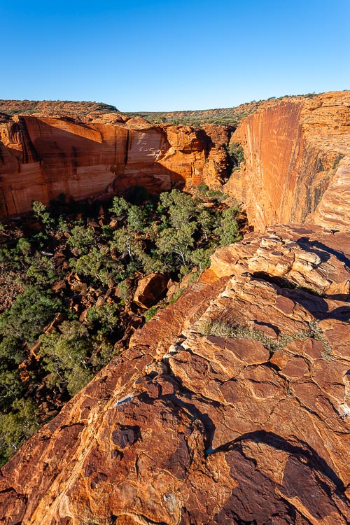 71545 Garden of Eden
 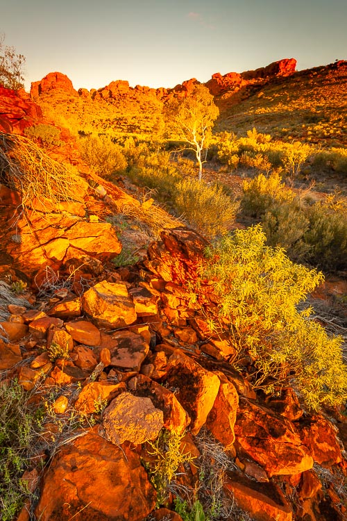 71524 Canyon Colours
 Along the way, visitors will come across several points of interest, including the Garden of Eden, a lush green oasis surrounded by towering red cliffs, and the Lost City, a series of towering rock formations that resemble a cityscape. The Rim Walk also provides breathtaking views of the Canyon floor, with its unique vegetation and wildlife.
Mount Conner
Many a visitor travelling along the Lasseter Highway has been fooled by the sight of Mount Conner. Rising 300m above the surrounding plains it is easily mistaken for it’s more famous cousin Uluru.
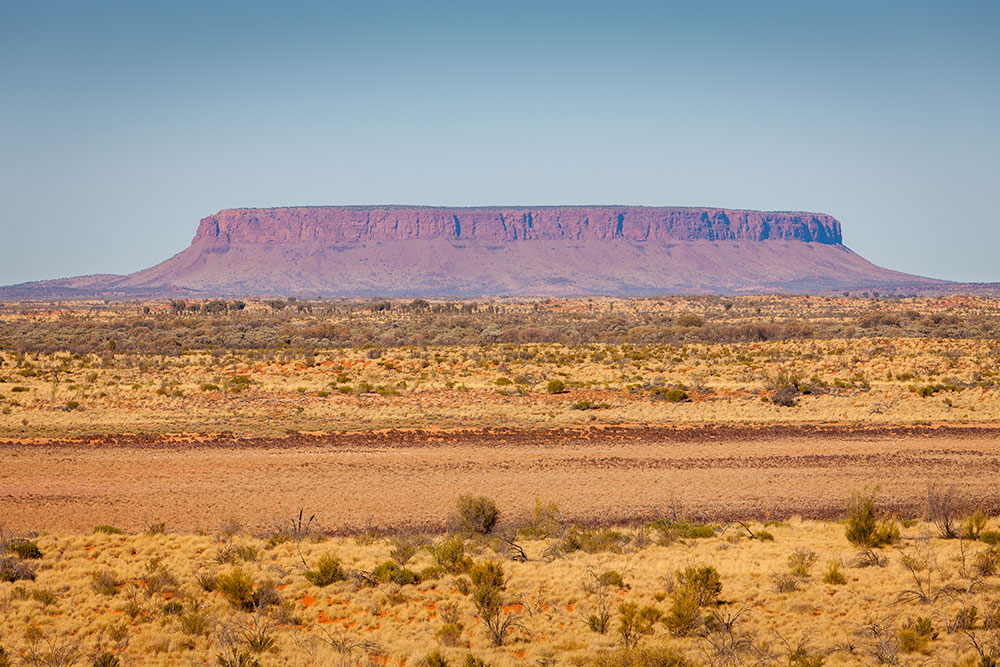 69894 Mount Conner
Mount Conner (aka Atila) was first sighted by William Goss in 1873 and named after M L Conner who was a member of the South Australian government at the time.
It’s located in Curtin Springs Station and it’s for this reason that it’s not readily accessible to the public. However, you can book onto organised tours which will get you up close and personal with the rock. Check out Curtin Springs Wayside Inn for more info.
Uluru Kata Tjuta National Park
Perhaps the most well-known tourist destination in Australia is Uluru (Ayers Rock), found within the Uluru Kata Tjuta National Park. This magnificent geological monolith is of incredible spiritual importance and has become known globally for its unique and undeniable beauty.
 69887 Uluru at Sunset
The Uluru 10km base walk gives you the best opportunity to view and connect with the rock. There are also plenty sections that can be driven to if you’re not feeling so energetic. If you only do one thing whilst visiting Uluru it has to be viewing the rock at sunset. As the sun retreats for the day the rock shifts its hue from reds and golds to pinks and purples.
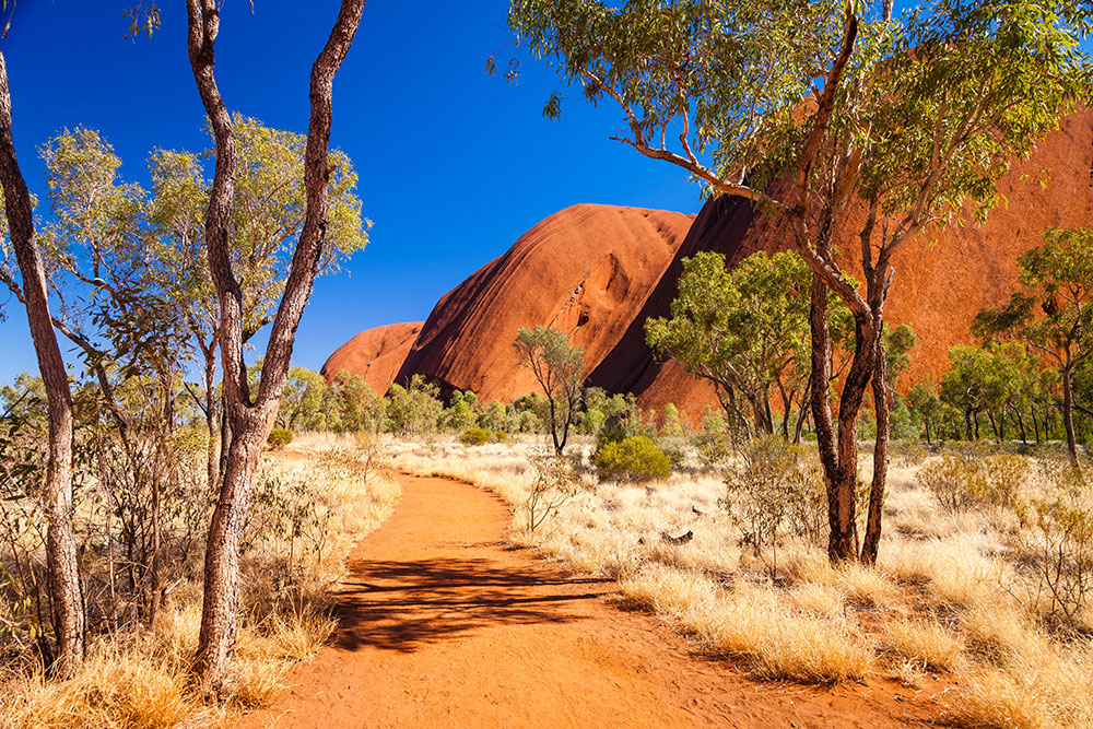 69879 Uluru Base Walk
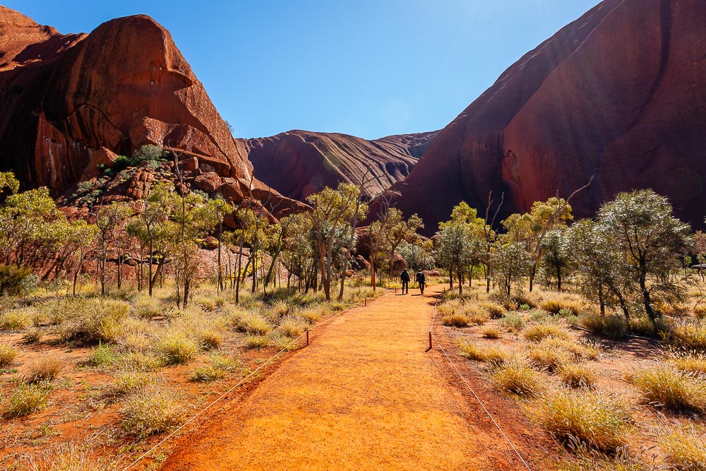 71517 Walk to Mutitjulu Waterhole
40 km’s west of Uluru are the soaring rock domes of Kata Tjuta (The Olgas). Don’t miss the Valley of the Winds walk. This circuit takes around 3 to 4 hours to complete and offers unparalleled views of the surrounding landscape. The glow at sunrise and sunset are unforgettable.
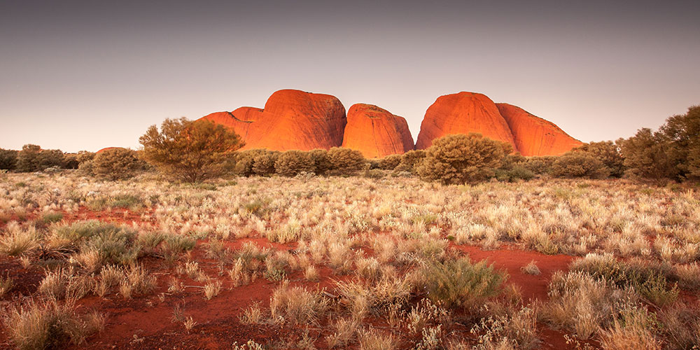 67248 Kata Tjuta Glow
Karlu Karlu
Karlu Karlu, also known as the Devils Marbles Conservation Reserve, is located approximately 400 kilometers north of Alice Springs.
 67619 Devils Marbles
This reserve is home to a collection of large, rounded boulders that are scattered across the desert landscape. Visitors to Karlu Karlu can take a leisurely stroll through the park and explore the incredible rock formations that make this area so unique. These rocks have been shaped by centuries of wind and water erosion, creating unique and interesting shapes that are truly awe-inspiring.
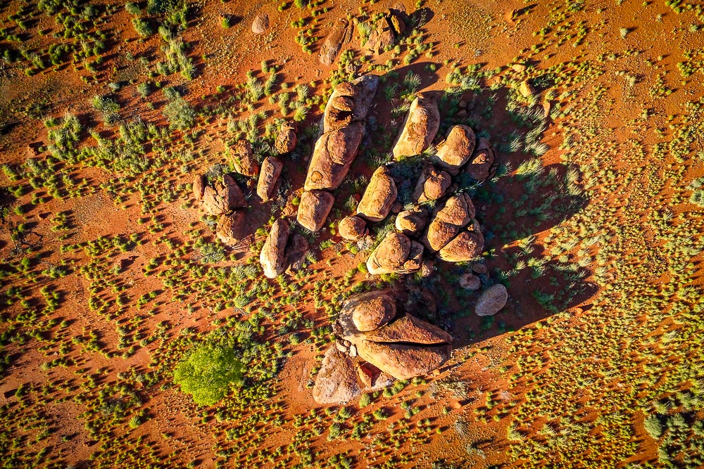 68069 Ancient Lands
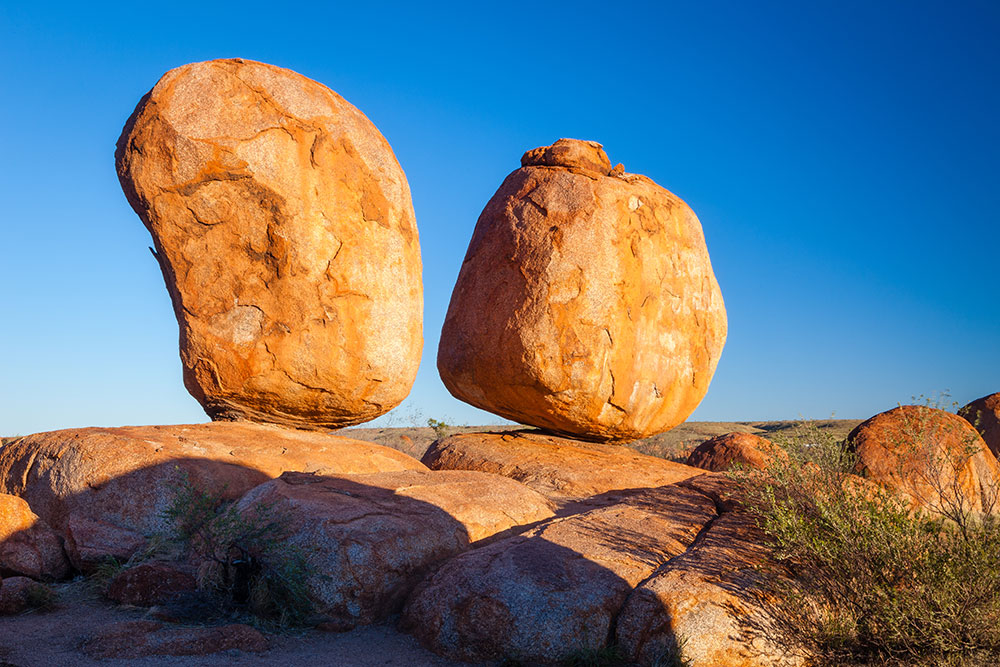 69856 Two Boulders
Learning About the Local Culture
Karlu Karlu is an important cultural site for the local Aboriginal people, who believe that the rocks were created by the Rainbow Serpent. Visitors to the reserve can learn more about this fascinating culture by taking part in guided tours and cultural experiences. This is a great way to gain a deeper understanding of the history and significance of this incredible site.
There is a small campground located within the reserve, which is a great option for those who want to spend more time exploring the area.