Freycinet National Park
Explore the wonders of Freycinet National Park by hiking to the iconic Wineglass Bay, relaxing in one of its many peaceful coves or exploring the rugged coastline of Cape Tourville.
 31616 Wineglass Bay from Mount Amos
The beauty of Wineglass Bay is best seen from the summit of Mount Amos. A part of the Hazards Mountain range, this viewpoint offers an unbeatable view of the stunning geography of the region. A word of warning: The walk to the summit of Mount Amos can be dangerous, especially when it’s wet. The steep gradient of the smooth granite is not for the faint hearted. If you don’t fancy risking it all, then try the Wineglass Bay Lookout. This 1-hour walk still offers spectacular views of the bay.
 68736 Freycinet Lodge and The Hazards
Towering over the coastline, boasting spectacular pink granite peaks, are The Hazards. This mountain range offers brilliant views of Freycinet National Park and a variety of walking tracks, lookouts and biking trails which are a great way to explore this beautiful corner of the world.
Coles Bay is set at the foot of The Hazards and is defined by its crystal-clear waters and breathtaking sunsets. Here you’ll find Freycinet lodge which is a perfect spot from which to visit the park.
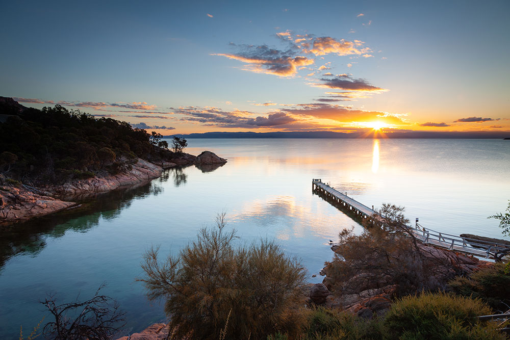 31622 Coles Bay
Hidden away at the southern end of Coles Bay is Honeymoon Bay. This is the best place to enjoy the tranquillity of the bay and is best experienced at sunset.
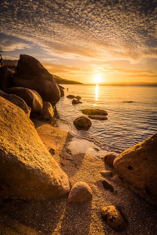 68192 Honeymoon Bay Sunset
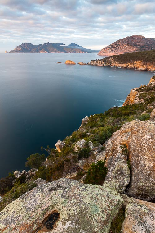 31626 Cape Tourville
Taking a break from the calm waters of Coles Bay, Cape Tourville shows off the wilder side of the park. Cape Tourville lighthouse has protected shipping along this coast since 1971. Views along the coastline from here at magnificent. Don’t forget to stop at Sleepy Bay on your way out to the cape.
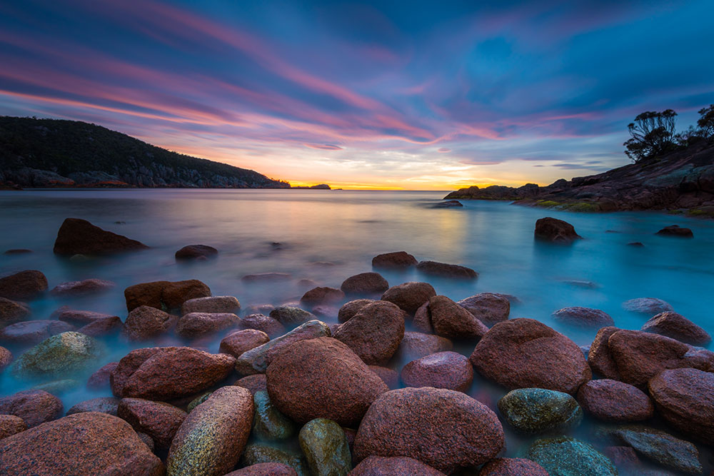 68201 Sleepy Bay Dawn
Bicheno
Travelling north on from the Freycinet Peninsula you’ll pass the coastal town of Bicheno. With its quiet and laid-back lifestyle, it’s well worth the stop. Visit the Bicheno Blowhole and wander its deserted beaches.
 68304 Waubs Bay, Bicheno
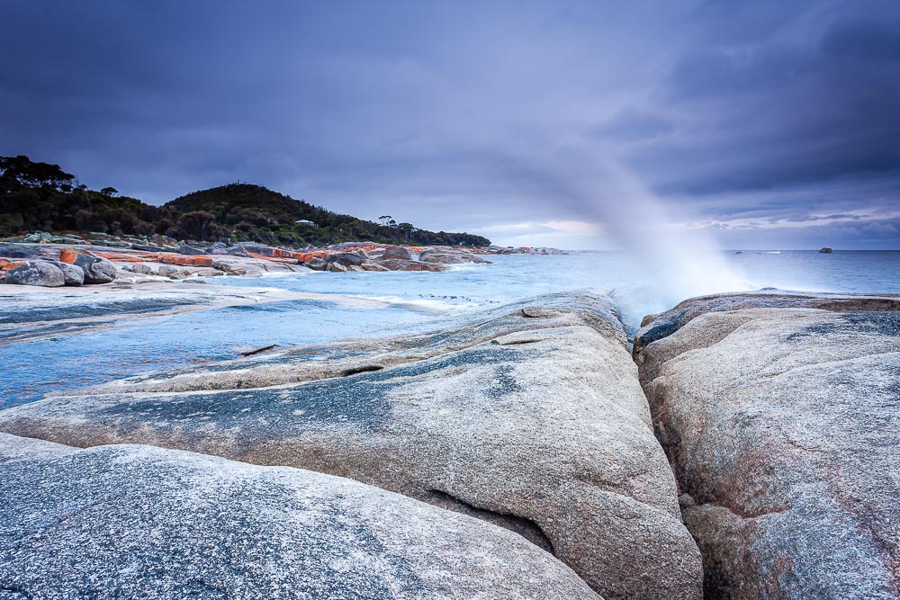 71515 Bicheno Blow Hole
Binalong Bay
Binalong Bay is a charming coastal town that offers visitors a stunning natural beauty, a relaxed atmosphere, and plenty of outdoor activities.
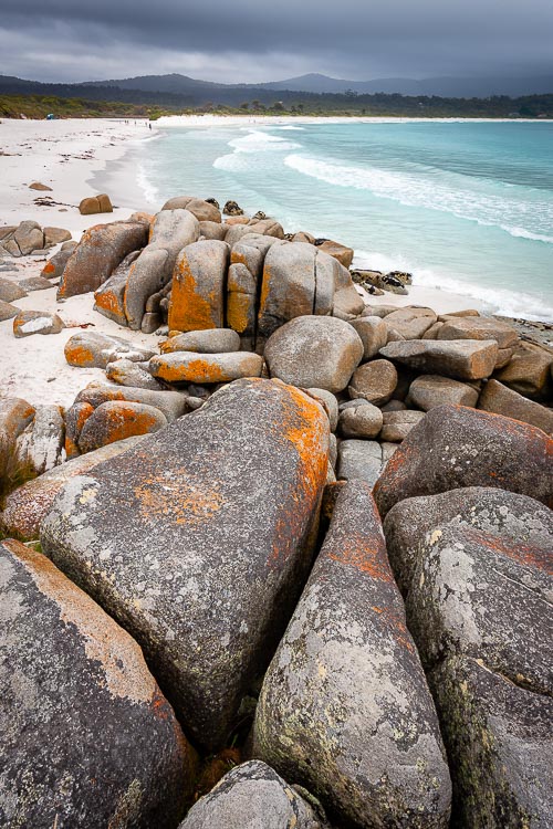 71514 Binalong Bay Rocks
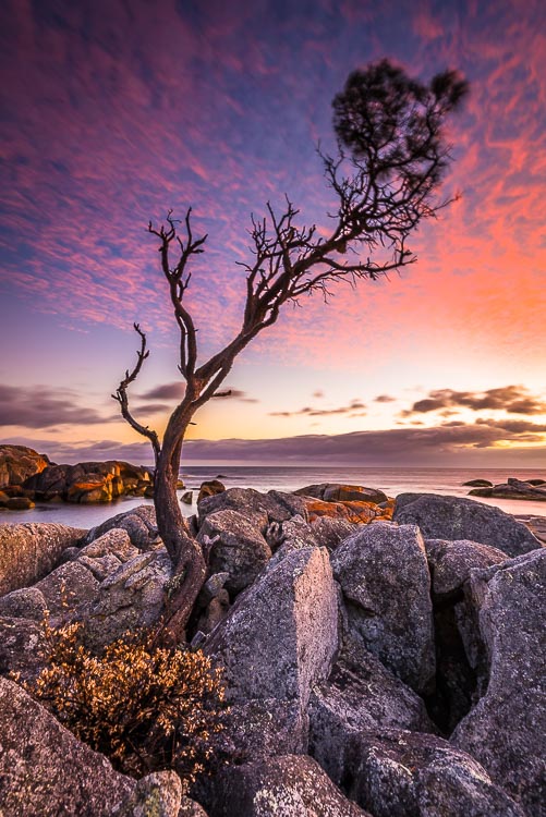 68193 Binalong Bay Lone Tree
The main attraction of Binalong Bay is undoubtedly its pristine beaches. And it's from here that you can start to explore the famous Bay of Fires, which stretches for over 50km and is renowned for its crystal-clear waters, white sand, and orange lichen-covered rocks.
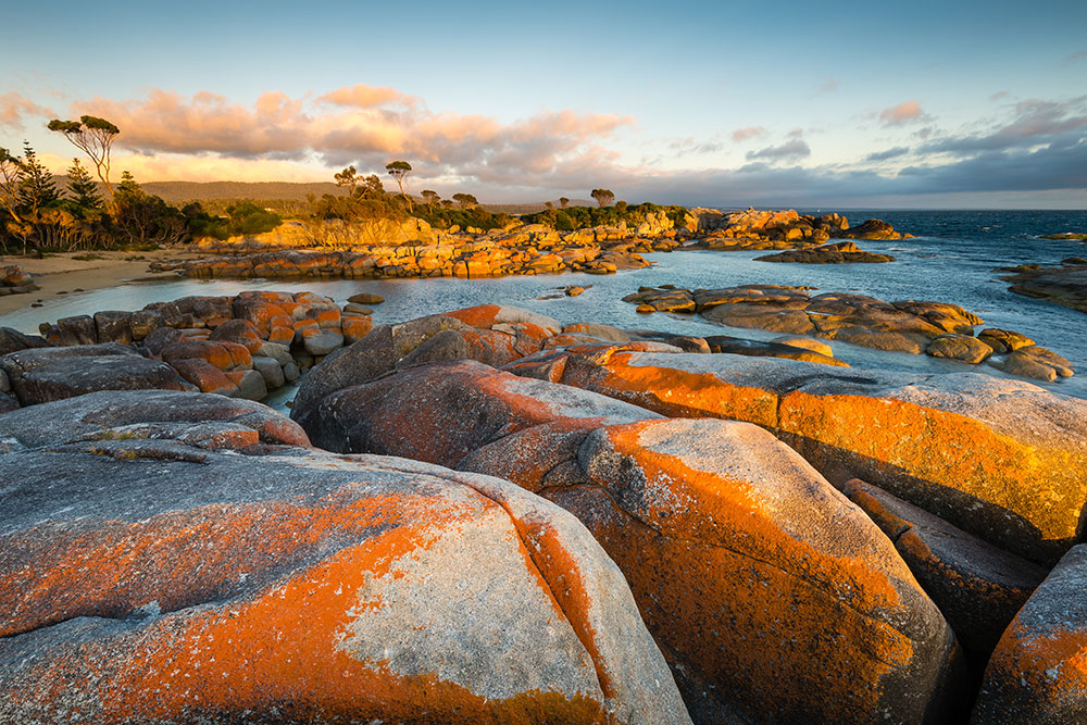 68886 Bay of Fires Sunset Rocks
Binalong Bay is also home to some of the best hiking trails in Tasmania. The most popular of these is the Bay of Fires Walk, a four-day guided trek that takes visitors along the stunning coastline and through the lush forests of Mount William National Park. The walk offers breathtaking views, abundant wildlife, and a chance to experience the unspoiled beauty of the area.
Bay of Fires
Stretching from Binalong Bay in the south to Mount William National Park in the north, is the Bay of Fires Conservation Area. The region was given its name in by Captain Tobias Furneaux. As he past the coastline in 1773 he noticed the fires of first nation people on its beached and bays.
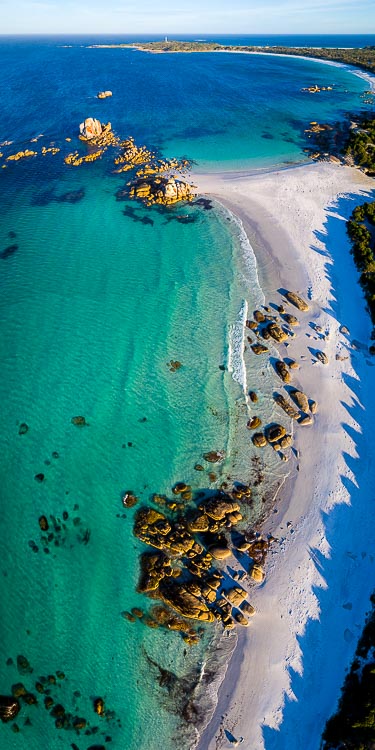 68804 Deep Creek Beach and Picnic Rocks
This region is well known for the bright orange lichen covered boulders strewn along its coastline. The clear blue waters contrast with the vivid orange, paint a striking picture.
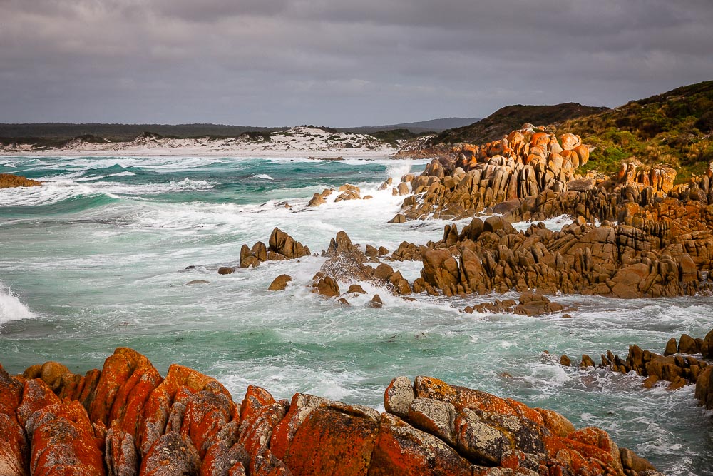 70994 Bay of Fires Coastline
Mount William National Park
Mount William National Park is home to a variety of Tasmania’s exotic and endangered wildlife and is a great place to explore and appreciate the raw beauty of Tasmania.
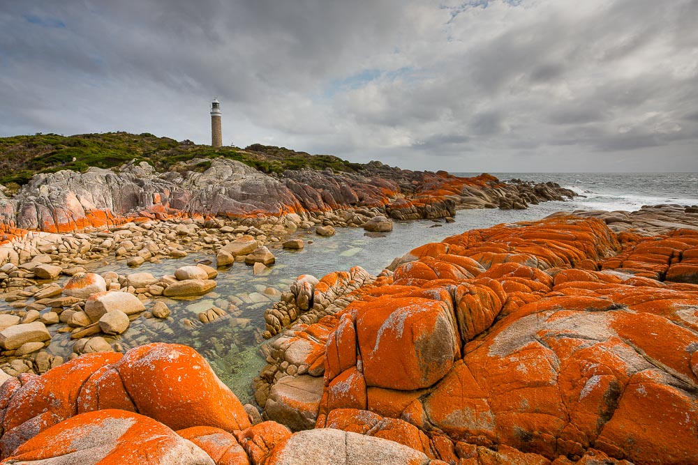 70991 Eddystone Point Lighthouse
Eddystone Point Lighthouse stands at the most easterly point of Tasmania. Built in 1889 this landmark is a particularly fascinating location for anyone interested in the history of the island.
 68830 Picnic Rocks
 31614 Picnic Rocks and Eddystone Point Lighthouse
Just north of the lighthouse sits Picnic Rocks. Whether it's a stay in one of the many camping spots close by, or a day trip from St Helens, Picnic Rocks paints a stunning picture with the lighthouse as a backdrop.
Tasman National Park
Situated in the lower reaches of Tasmania is Eaglehawk Neck. A thin strip of coast, less than 100 metres wide, that connects the southern island to the mainland. It was a crucial point of the security of the Port Arthur Historic Site where a line of fierce dogs were chained across The Neck to prevent convicts from escaping Port Arthur.
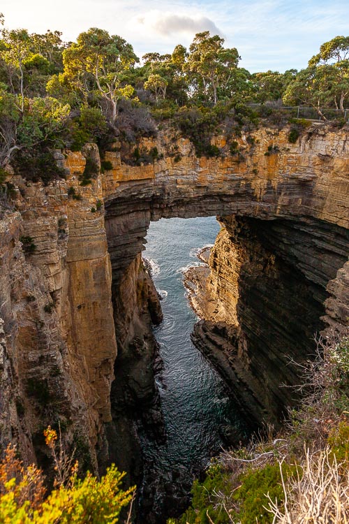 70959 Tasman Arch
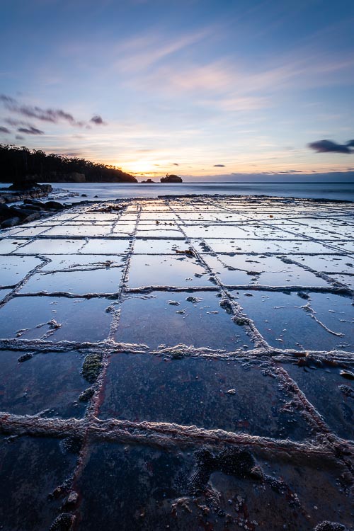 70953 Tessellated Pavement
This area of coastline is exposed to the elements, which over time have formed stunning phenomena of the tessellated pavements.
Weathering and erosion have also played a part in the creation of the spectacular Tasman Arch. Over thousands of years, the pounding of the waves has weathered the rock to create this beautiful natural arch.
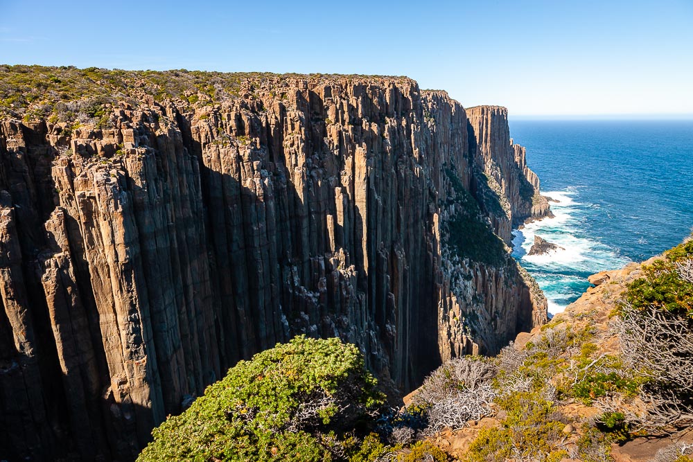 70964 Cape Raoul Coast
If stunning coastal scenery is your thing, then the Cape Raoul walking track is a must. The track takes you through open forest and continues onto the spectacular cliffs of the cape. The volcanic dolerite columns drop straight to the ocean below, what a sight!